| Name | Ratanakiri means ‘crystal mountains’ |
|---|---|
| Location | province in northeast Cambodia, between the Tonlé San and Tonlé Srepok rivers |
| Borders | Mondulkiri and Stung Treng provinces; Laos and Vietnam |
| People | the highland Khmer Loeu have lived there for over a millennium |
| Terrain | Annamite Range mountains in the north, hilly plateau and tropical deciduous forest in the south |
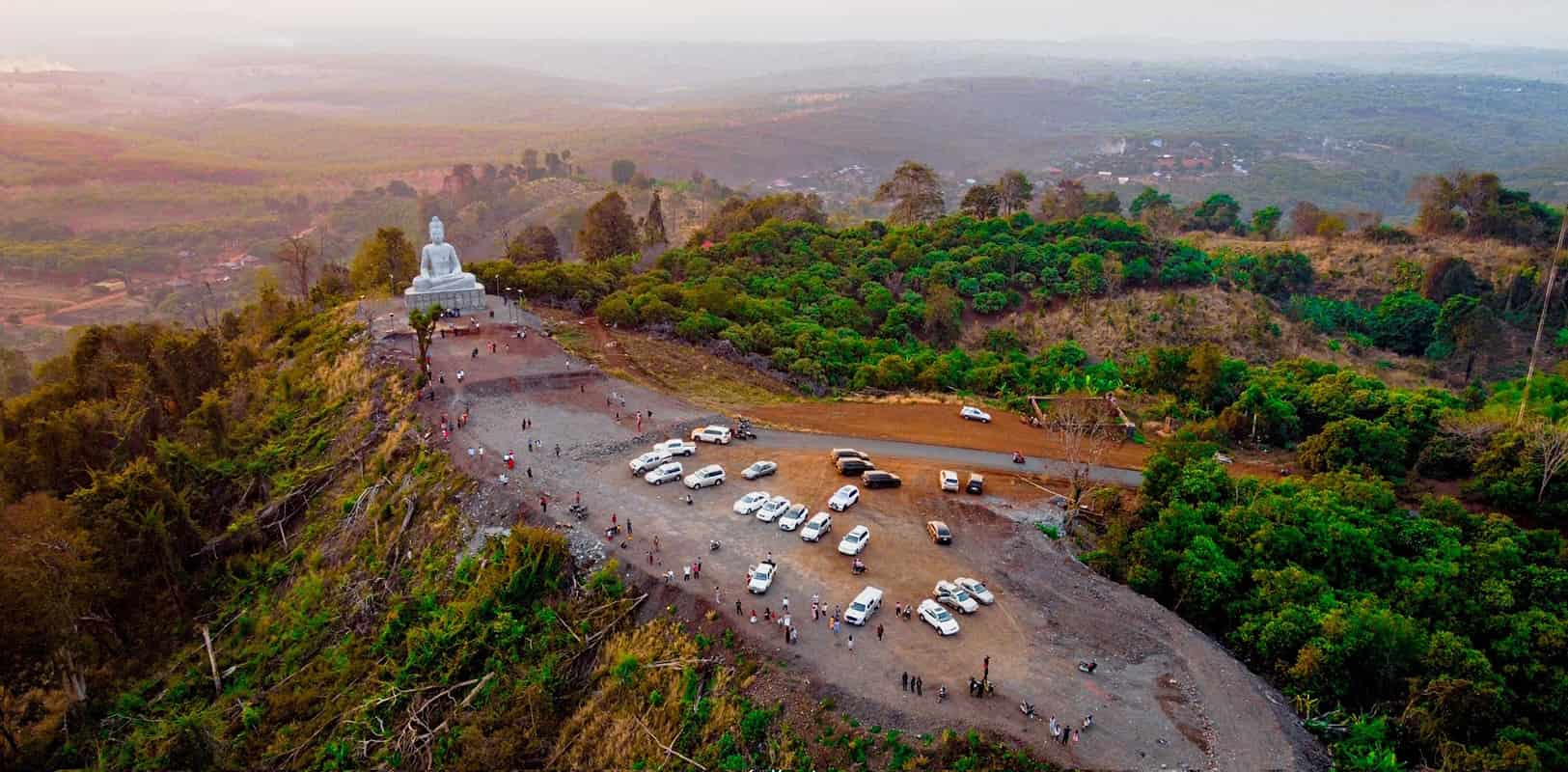
As a land with unique nature and rich tourist potential, Ratanakiri has been offering a unique adventure far from the usual tourist spots in Cambodia. Located in the northeastern region, this destination is known for its waterfalls, crater lake, dense forests, and Indigenous cultures. It’s one of the most captivating places to visit in Cambodia for adventurous travelers.
Among the top things to do in Ratanakiri is to visit Yeak Laom Lake, a stunning volcanic crater lake surrounded by lush jungle. Formed from a volcanic eruption 4000 years ago, its unique shape and characteristic green space attract visitors from all over. The year-round clear waters are perfect for swimming and relaxing after a day of exploring. For nature lovers, the Virachey National Park offers incredible trekking opportunities through dense rainforests and rolling hills, where you can always encounter rare wildlife and stunning views. Do you know that the province is also home to spectacular waterfalls? Falls such as Cha Ong and Ka Tieng are perfect spots for picnics and refreshing swims.
A Ratanakiri tour with Absolute Asia Tours will let you discover the untouched beauty of this remote province. You will also visit local villages where you can learn about the life of the local indigenous people. These experiences add a cultural depth to any Cambodia tour, showcasing the diversity and beauty of the country beyond its temples and beaches.
The crystal mountains
English Wikipedia describes Ratanakiri as a province of northeast Cambodia bordering Mondulkiri to the south, Stung Treng to the west, and Laos and Vietnam to the north and east. It extends from the Annamite Range mountains in the north across a hilly plateau between the Tonlé San and Tonlé Srepok rivers to tropical deciduous forests in the south. The highland Khmer Loeu, a minority elsewhere in Cambodia, have lived there for over a millennium. Logging and mining have scarred the environment in recent years. We have not verified the older text on waterfalls, the crater lake or trekking prices; if you visit Khmer Loeu villages, go with a local guide and ask before taking photos.
Sources (read in English, English Wikipedia): Ratanakiri Province. Last checked November 2026.
Ratanakiri: FAQ
What does Ratanakiri mean?
Crystal mountains.
Who lives in Ratanakiri?
The highland Khmer Loeu, a minority elsewhere in Cambodia.
Which countries border it?
Laos and Vietnam.
What is the terrain like?
Annamite mountains in the north, a plateau and tropical forest in the south.
How many days do you need?
Three days.