| Province | 6,700 km²; 573,119 residents (2025 data) |
|---|---|
| Borders | Guangxi (China) to the east and north; Tuyen Quang to the west; Lang Son and Thai Nguyen to the south |
| Location | northeast Vietnam, with a long border with China |
| Name | Sino-Vietnamese for ‘high plateau’ (older page text) |
The province’s name is a Sino-Vietnamese word which means “high plateau” and its capital city also the largest settlement of the region has the same name. Cao Bang is set on the bank of Bang Giang River, and is around 30 km away from Vietnam’s boundary with China.
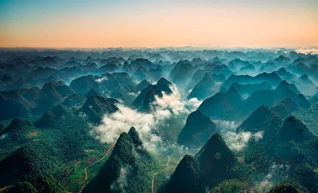
Natural terrain of Cao Bang includes grandiose mountains, primary forests, as well as immense rivers and springs. Indeed, this is a nature retaining so many features undiscovered that make you find yourself speechless and amazed. Some of them are associated with the country’s formidable resistance war against France for example: Lenin stream and Karl Marx mountain located in Pac Bo (where Former President Ho Chi Minh lived since 1941 after his return from China) are two destinations that all Vietnamese exceptionally familiar to since their very young ages. Apparently, apart from its stunning appearance, the historical meaning of Pac Bo has a vital role to play in drawing visitors to Cao Bang. Besides, it would be inadequate if we omit Ban Gioc Waterfall – the world’s fourth largest waterfall that lies between two nations, and also the largest natural waterfall in Indochinese peninsula. Undoubtedly, with its surprisingly spectacular and pristine beauty, the Waterfall is among the most famous destinations of Cao Bang.
With such a rich variety in topography, Cao Bang’s cuisine cannot help but being diverse and abundant as well. Made from ingredients that can only be found here for instance: some special types of vegetables: bo khai, da hien, folium sauropi, or bee’s pupae even the simplest dishes can be exceptionally tasty. A few other names can be listed are Coong Phu cake, sour noodles, Trung Khanh hazel nuts, steamed rolled rice pancake.
The best time to visit Cao Bang is at August and September when Ban Gioc Waterfall is full of crystal-clear water, or at November and December when wild sunflowers are in their blooming season.
Province facts
Vietnamese Wikipedia puts Cao Bang in northeast Vietnam, bordering the Guangxi Zhuang region of China to the east and north, Tuyen Quang to the west, and Lang Son and Thai Nguyen to the south. The province covers 6,700 square kilometers and had 573,119 people in the 2025 data, and it has a long border with China, which gives it a role in trade and defense. Its extreme points include Lung Man in Coc Pang commune in the north and Ly Quoc commune in the east. For the nearby karst landscapes, which cross the border into Guangxi, see our Guangxi page. We have not verified waterfall or cave details, so check them before you go.
Sources (read in Vietnamese, Vietnamese Wikipedia): Cao Bằng. Last checked November 2026.
Cao Bang: FAQ
Where is Cao Bang?
In northeast Vietnam, on the border with Guangxi in China.
How big is Cao Bang province?
6,700 square kilometers, with 573,119 people in the 2025 data.
Which provinces border Cao Bang?
Tuyen Quang to the west, and Lang Son and Thai Nguyen to the south.
What is the northernmost point of Cao Bang?
Lung Man hamlet in Coc Pang commune.
How many days do you need in Cao Bang?
Two to three days.